


Research News
Soil Thickness Controls Landslide Occurrence, Study Finds
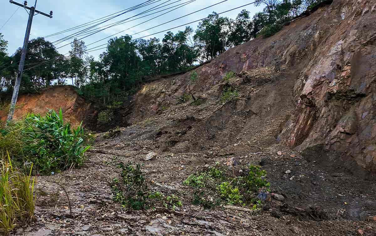 Image by T.Photo/Shutterstock
Researchers at University of Tsukuba analyzed high-resolution topographic data from airborne LiDAR to examine the relationships among landslide area, depth, and slope gradient. They found that the thickness of a slope's soil layer plays a key role in determining where and how landslides occur. The findings could sharpen disaster risk prediction as the climate changes.
Tsukuba, Japan—Landslides triggered by heavy rainfall and earthquakes are becoming increasingly severe across Japan. However, accurately predicting their location and magnitude remains challenging. One obstacle is the difficulty of characterizing the shallow subsurface soil layers—directly involved in landslides. These layers are typically only tens of centimeters to a few meters thick. Advances in airborne laser surveying now make it possible to capture high-resolution topographic data before and after a disaster, allowing detailed analysis of landslide geometry. The team drew on these datasets to investigate the mechanisms that govern when and where landslides occur.
Working with pre- and post-event digital elevation models from catchments hit by past heavy-rainfall disasters, the researchers compared landslide area, depth, and slope gradient. They found that the widely assumed relationship between landslide area and depth holds only weakly, especially for shallow landslides, and that slope gradient exerts a much stronger control on depth. Notably, they found that the thickness of the failed soil layer falls within a relatively constrained range that varies systematically with slope gradient. Theoretical models such as the infinite slope stability framework, a standard tool for evaluating slope failure, have long predicted this pattern, but the study provides clear empirical confirmation across a large set of real disaster cases.
The findings suggest that the location and size of landslides can be estimated from relatively simple indicators, namely slope gradient and soil thickness. They also offer a foundation for hazard maps and risk assessments that account for the heavier rainfall expected under climate change. By making landslide assessments easier to apply in practice, the approach could strengthen disaster prevention and mitigation.
###
This study was supported by JSPS KAKENHI (Grant Number JP20H03019-JP23H02246), the Environment Research and Technology Development Fund of the ERCA (JPMEERF20252004) funded by the Ministry of the Environment, and the Support for Pioneering Research Initiated by the Next Generation (SPRING) program funded by the Japan Science and Technology Agency.
Original Paper
- Title of original paper:
- Depth of rainfall induced landslides revealed by DEM of difference analysis using airborne LiDAR data in igneous terrains
- Journal:
- Scientific Reports
- DOI:
- 10.1038/s41598-026-46714-4
Correspondence
Professor UCHIDA Taro
Institute of Life and Environmental Sciences, University of Tsukuba
KUDO Yuki
Doctoral Program in Environmental Studies, Degree Programs in Life and Earth Sciences, Graduate School of Science and Technology, University of Tsukuba
Related Link
Institute of Life and Environmental Sciences

