Research News
LiDAR‑based Detection of Topographic Modifications in Medieval Mountain Castles and Their Landslide Susceptibility
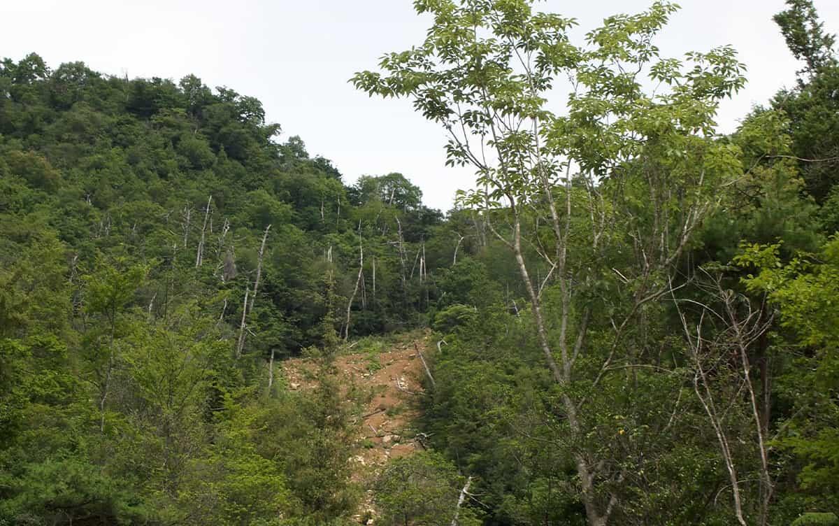 Photo by Masami Inomata, Hiroshima Institute of Technology
Researchers at University of Tsukuba have developed a method to differentiate the topography of medieval mountain castles from that of natural ridges using airborne light detection and ranging (LiDAR) data. This method is expected to be useful for detecting historically modified terrain, such as archaeological sites in mountainous regions, as well as for assessing the extent of topographic modifications and estimating the potential risk of landslides on modified slopes.
Tsukuba, Japan—The widespread use of airborne light detection and ranging (LiDAR) surveys has revealed numerous artificially modified landforms in Japan's mountainous and hilly regions. However, quantitative assessments regarding how much these ancient or medieval landscapes deviate from their natural state have been limited. This study demonstrates that by combining two topographic indicators, namely, slope gradient and curvature, the researchers can effectively distinguish between terrain modified by medieval mountain castle construction and the natural topography of ridges.
The research team utilized airborne LiDAR-derived digital elevation models with a spatial resolution of 1 m from Hiroshima Prefecture in western Japan. They conducted a thorough topographic analysis of areas along ridges at 39 medieval mountain castles and 39 nearby unmodified natural ridges. The results reveal that castle sites exhibit greater variability in slope compared to natural ridges. In addition, castle sites with high slope variability and a significant proportion of valley-like slopes tend to show a higher incidence of shallow landslide traces within the castle boundaries.
The study's findings are expected to enhance the identification of land modifications that occurred prior to the 1940s, a period for which detailed topographic data are lacking. The proposed method offers a quantitative approach for assessing historical land modifications and evaluating the potential risk of landslides in terrain altered by premodern human activities.
###
This work was supported by the Japan Society for the Promotion of Science [JP22H00750].
Original Paper
- Title of original paper:
- Evaluation of medieval land transformation for the construction of hilltop castles based on topographic analysis of LiDAR DEMs
- Journal:
- Physical Geography
- DOI:
- 10.1080/02723646.2026.2643590
Correspondence
Associate Professor HATTANJI Tsuyoshi
Institute of Life and Environmental Sciences, University of Tsukuba
TERUI Risa
College of Geoscience, School of Life and Environmental Sciences, University of Tsukuba
Associate Professor OGURA Takuro
Graduate School of Education, Hyogo University of Teacher Education
Assistant Professor INOMATA Masami
Faculty of Environmental Studies, Hiroshima Institute of Technology
Related Link
Institute of Life and Environmental Sciences


